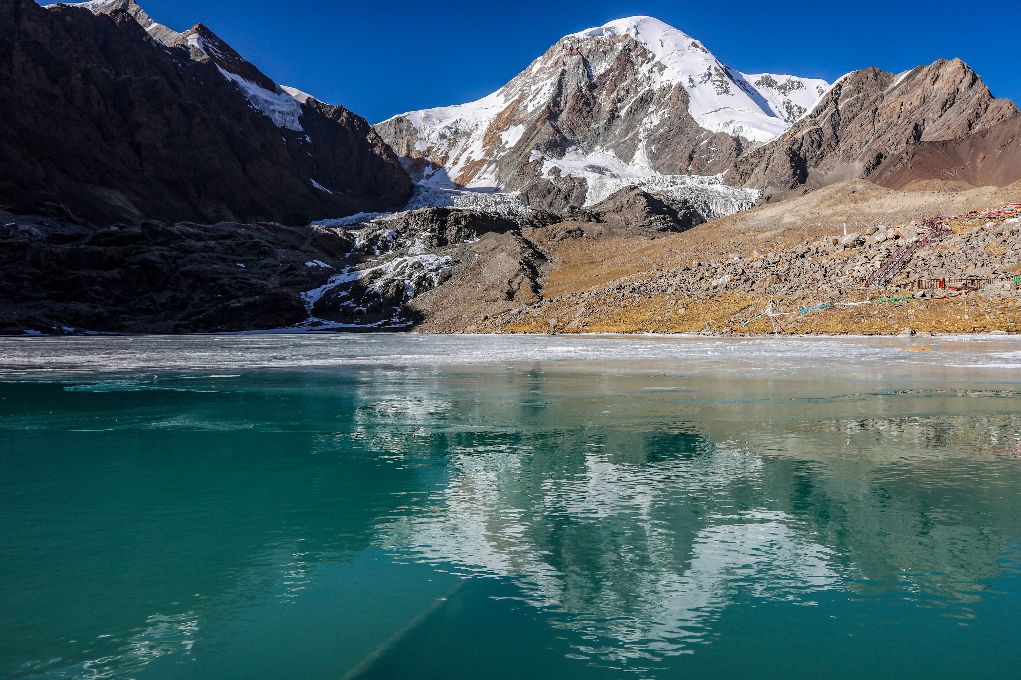
The photo shows Qiongmu Gangri peak in the Qinghai-Tibet Plateau. GCP’s approval of China’s GONGGA, one of the most recent achievements of the second Tibetan Plateau Scientific Expedition and Research, indicates that Chinese scientists have shifted their role from data contributors to leaders in atmospheric inversion systems. (PHOTO: XINHUA)
By LU Zijian
Developed by researchers taking part in the second Tibetan Plateau Scientific Expedition and Research, the Global Observation-based System for Monitoring Greenhouse Gas (GONGGA) was recently selected as one of the four advanced inversion systems for the global carbon budget calculation by the Global Carbon Project (GCP).
This is one of the most recent achievements of the second Tibetan Plateau Scientific Expedition and Research.
What is GONGGA?
GONGGA is an inversion system that can estimate the carbon flux of land and sea at a regional, or even global level and assess the global carbon budget in real time.
The system was designed and operated on China’s Tianhe supercomputer, and the generated data was independently evaluated and verified by GCP. The results showed that the error of mean square root of monitoring data and GONGGA’s calculation, was the smallest, compared with the growth rate of atmospheric CO2 observed by the National Oceanic and Atmospheric Administration of the U.S.
GONGGA also has some features that distinguishes itself from other inversion systems. For example, the system adopts a unique optimized framework with double channels, realizing the effective separation and joint assimilation of the error between CO2 flux and concentration, which could ensure the precision of the inversion calculation.
In addition, the system could be flexibly transformed to a verification platform for the domestically developed Carbon Dioxide Observation Satellite (TanSat), connecting the design, launch and application of TanSat and achieving the effective interaction between the payload index of TanSat and the inversion accuracy of GONGGA.
The approval of GCP indicates that Chinese scientists have shifted their role from data contributors to leaders in atmospheric inversion systems.
Josep (Pep) Canadell, executive director of GCP, said that he appreciates China’s contribution to GCP and hopes the country can be more deeply involved with the program.
Resource and environment investigation
Initiated in 2017, the second Tibetan Plateau Scientific Expedition and Research has achieved more than just the GONGGA inversion system. Progress has also been made in the investigation of resources and environment.
Yao Tandong, academician of the Chinese Academy of Sciences (CAS) and chief scientist of the Second Tibetan Plateau Scientific Expedition and Research, said that the population carrying capacity still has ten million left, and the carrying capacity of environment, water and land of the Qinghai-Tibet Plateau is more than enough.
Particular research was done to figure out the imbalance features of the Plateau, under the influence of climate change. The Plateau was called Asian Water Tower because many large rivers such as the Yangtze, Yellow and Lancang rivers have their origins there.
According to Yao, global warming caused the reduction of solid state water and increase of liquid state water, resulting in an imbalance that could bring a series of disasters. In addition, the water resource allocation was also imbalanced due to the decrease of rain caused by North Indian Ocean monsoon circulation, which is especially serious in south Asia.
Other investigation projects including salt lake environment research, and oil and gas resource evaluation have been conducted by the expedition team.
Facilitating ecological conservation
In addition to scientific research progress, the Expedition also generated contents and product that could contribute to ecological protection.
By means of a floating airship, unmanned aerial vehicles, underwater robots and helicopters, a management platform for geological scientific expedition and research was primarily built to serve unified conservation and systematical management of mountains, waters, forests, farmlands, lakes, grassland, ice and sand.
Tibetan Plateau Scientific Expedition: Tackling Climate Change, Protecting Eco-environment
A comprehensive monitoring system covering weather, glaciers, waters, ecology and the environment was built at the basin of the Lhasa River, a major tributary of the Yarlung Zangbo River, and the river’s regulation work has begun with the help of the system.
The expedition team had already carried out two successful tests regarding artificial snow by 2021, at the No. 1 Lhasa River Valley Glacier (Kuoqionggangri Glacier), in order to protect the glacier park and slow down the glacial ablation caused by climate change.
There are also research results that could be used to promote biodiversity conservation, including, but not limited to, rewilding of nature reserves and protection of plants for the rational use.
The second Tibetan Plateau Scientific Expedition and Research served the global ecological environment, said Yao, adding that they are conducting an international research program, called the Third Pole Environment, and more than 300 scientists from over 30 countries are involved in the program.